


-
ICA Commission Cartography for Early Warning and Crises Management (CEW&CM) has successfully held a pre-conference activity of EuroCarto 2022 in Wien
September 18, 2022
-
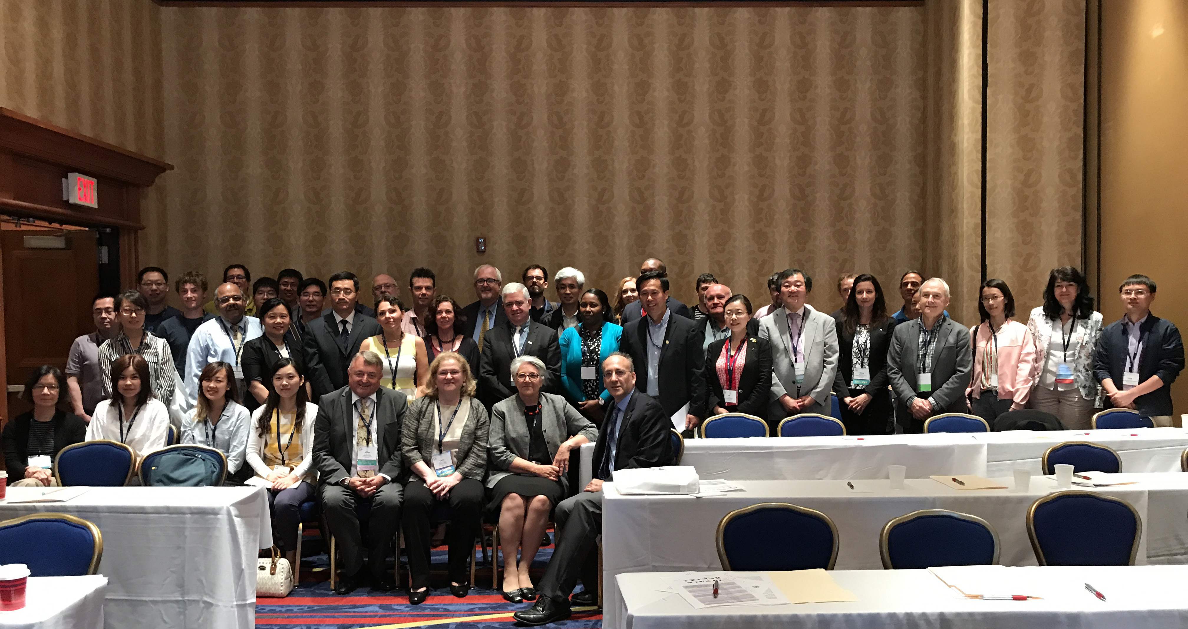
Cartography for Early Warning and Crisis Management – ICA Commission Workshop & Sessions Report
June 16, 2022
-
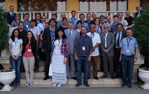
ICA Commission Cartography for Early Warning and Crises Management (CEW&CM) has successfully held a pre-conference activity of ICC 2021 in Florence
on December 13, 2021
-
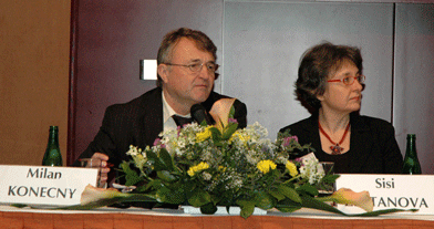
Prof. Milan Konecny and Prof. Temenoujka Bandrova visited the Department of Surveying and mapping, China University of Petroleum From November 27 to December 2, 2019, Qingdao, China
November 27 to December 2, 2019
-
Prof. Dr. Philippe De Maeyer was invited to visit and make exchanges with Chinese Academy of Surveying and Mapping on December16, 2019, Beijing, China.
December16, 2019
-
The Seminar on Intelligent Emergency Mapping and Disaster Risk Reduction Mapping Services was successfully held on December 10-13, 2019 in Haikou City, Hainan Province, China
December 10-13, 2019
-
Announcement of the Seminar on Intelligent Emergency Surveying and Disaster Risk Reduction Mapping Service
December 10-12, 2019
-
The 6th UPINLBS was successfully held on November 13-14, 2019 in Beijing, China
on November 13-14, 2019
-
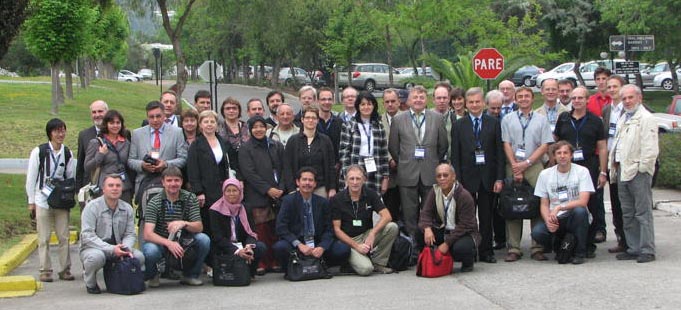
The workshop on Capacity Building of Emergency Mapping Support in Asian region was successfully held in Kunming, Yunnan, China
on November 10-16, 2019
-
The Sixth International Ubiquitous Positioning, Indoor Navigation and Location-Based Services (UPINLBS) Conference (2nd Announcement), Beijing, China
November 13-14, 2019
- Prof. Milan Konecny from University of Masaryk, Czech Republic gave lectures about Early Warning, Crises Management and Disaster Risk Reduction, October 10-16, 2019, Beijing, China
-
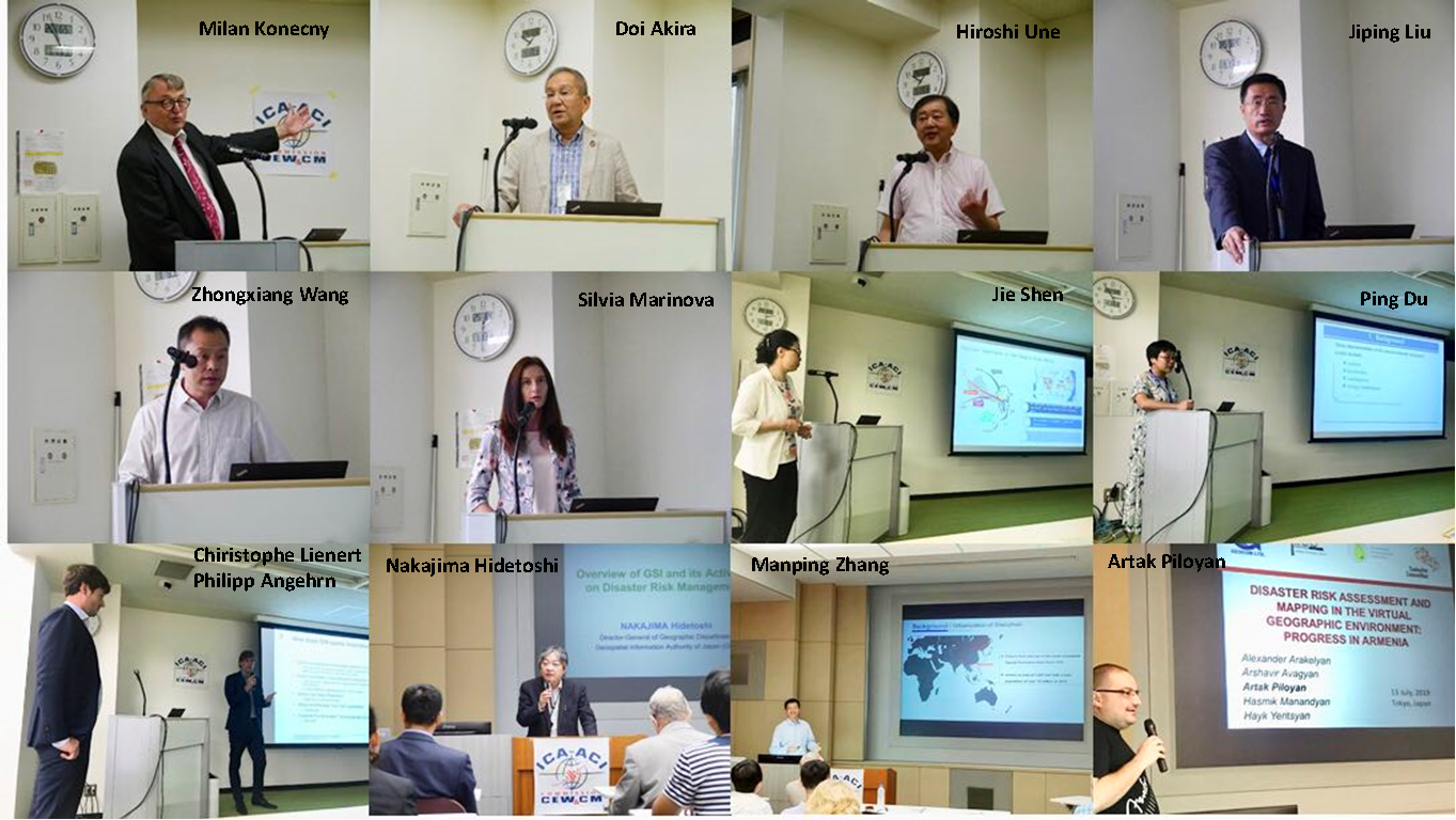
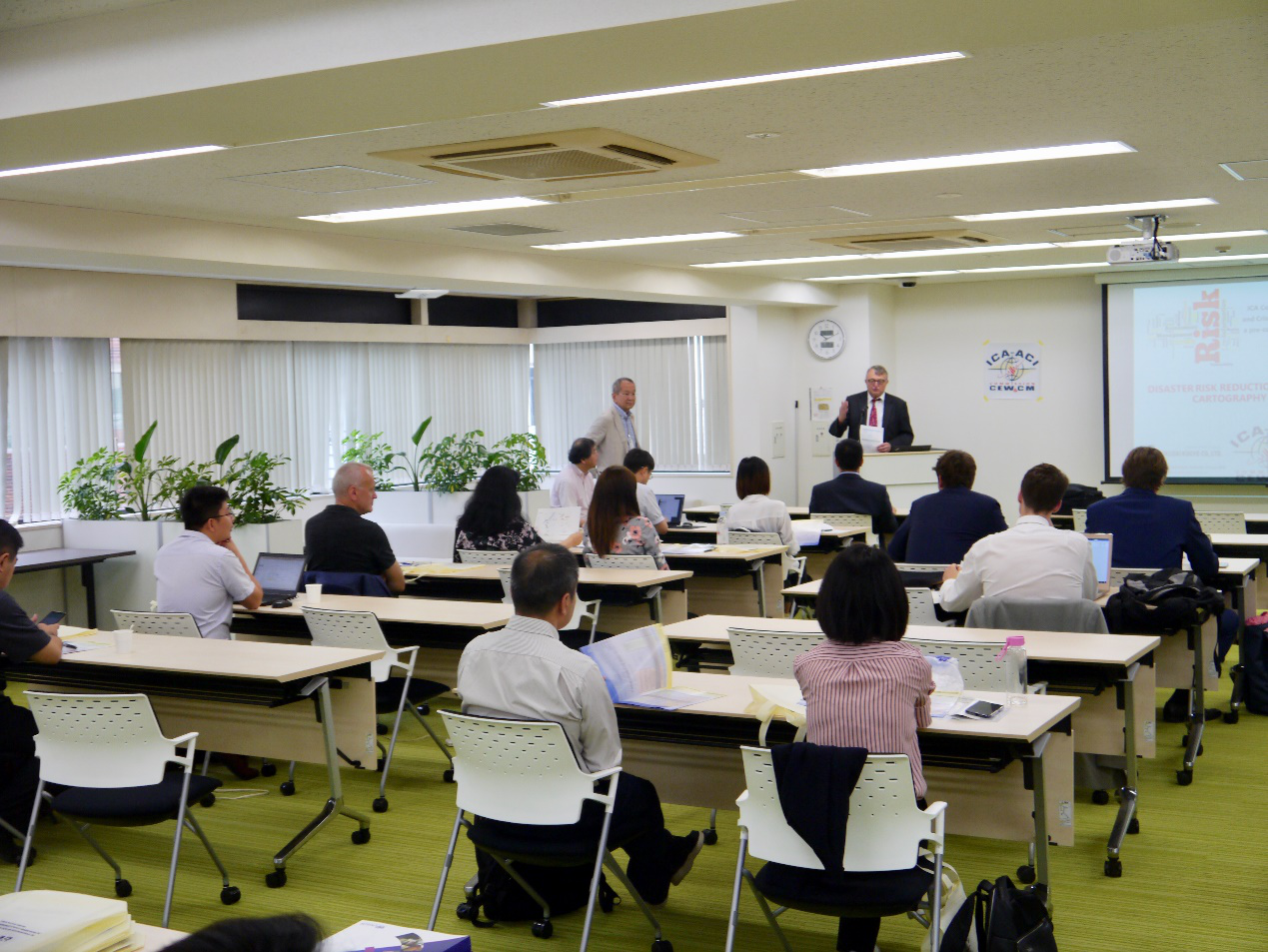
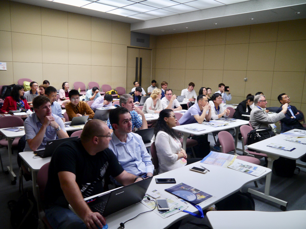
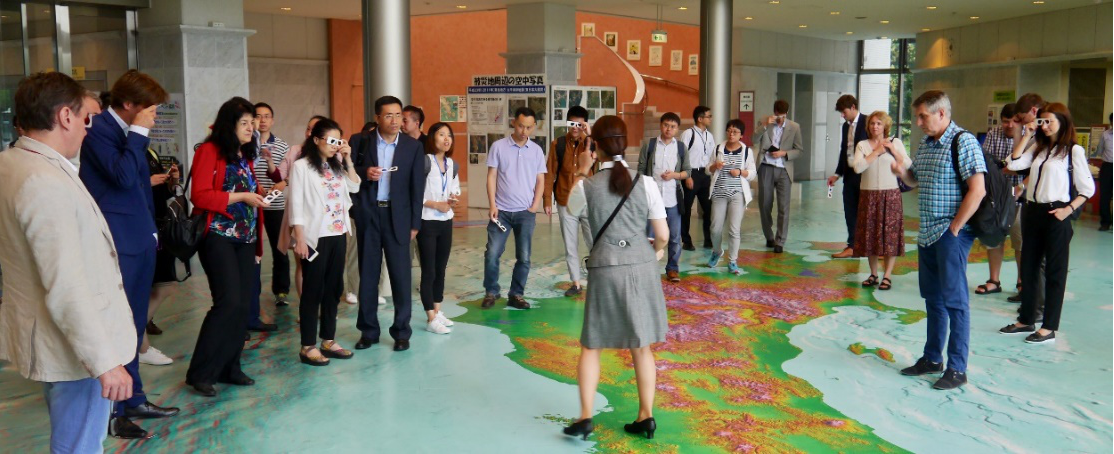
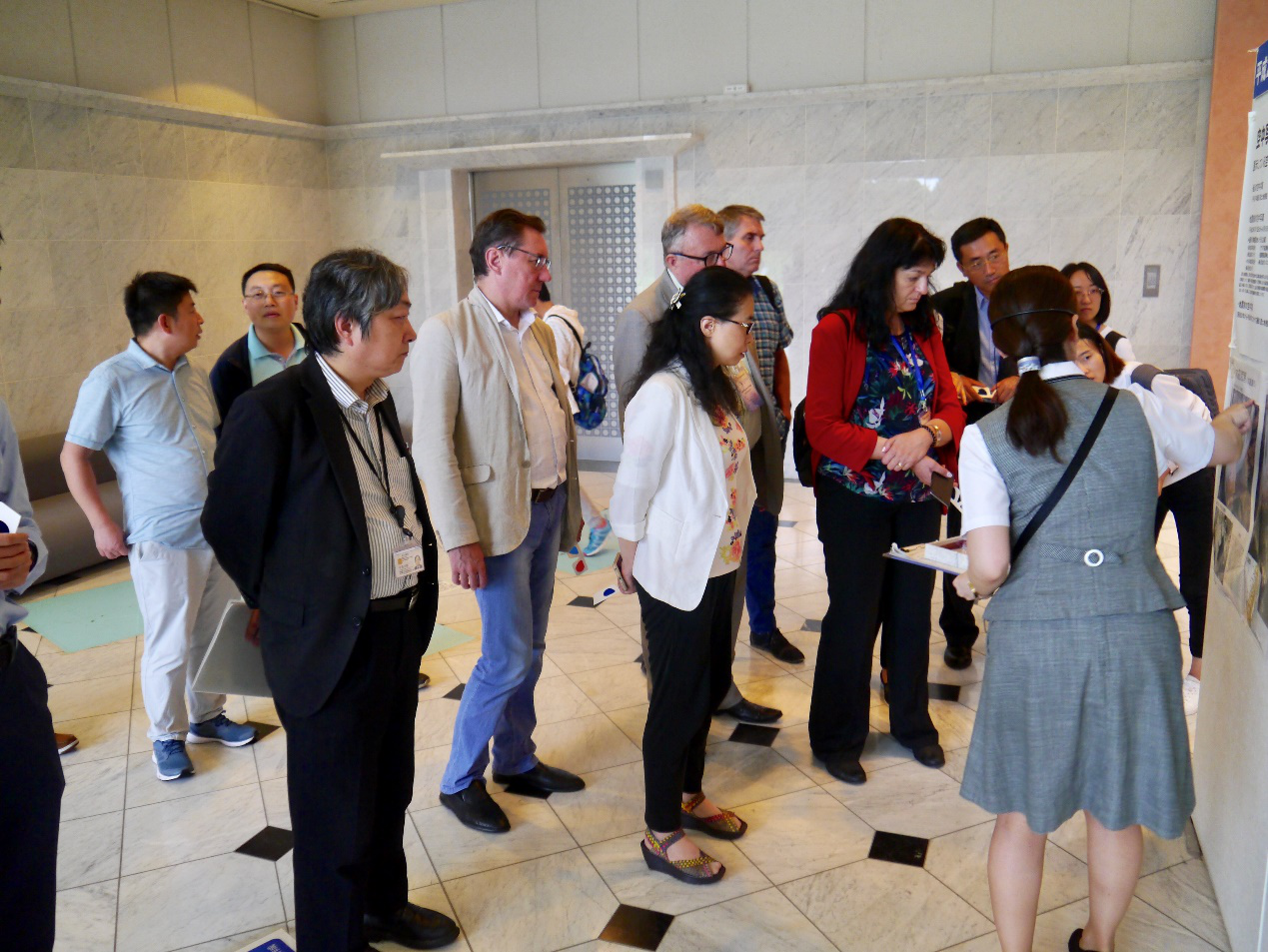
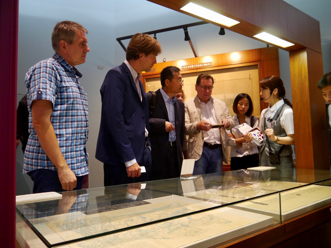
The workshop of ICA Commission Cartography for Early Warning and Crises Management (CEW&CM) was held successfully as a pre-conference activity of ICC 2019 in Tokyo and Tsukuba on July 13 and July 14, 2019.
July 14, 2019.
-
ICA Commission Cartography for Early Warning and Crises Management (CEW&CM) will be held as a pre-conference activity of ICC 2019 in Tokyo and Tsukuba on July 13 and July 14, 2019
July 14, 2019
-
ICA Symposium on Early Warning and Disaster Risk Management for Urban Areas in Big Data Era
December 1st -3rd,2018
- The 7th International Conference on Cartography and GIS, Seminar with EU Cooperation on Early Warning and Disaster/Crisis Management. Black Sea coast, Bulgaria.
June 18-23, 2018
-
Meeting of Commission on Cartography on Early Warning and Crisis Management ,June 19 at 6:00 PM, Flagman Hotel ,Sozopol, Bulgaria.
June 19,2018
- InterExpo-Geo Siberia 2018. IX. Conference on Disaster Management.
April 25-27, 2018
-
GIS for Safety & Security Management 21st - 23rd March 2018 , Ostrava, Czech Republic.

March 21-23,2018
- Geospatial World Forum, GEO4IR: Geo-enabling 4th Industrial Revolution. Session for Disaster Risk Reduction. in Hyderabad, India.
January 16th-19th, 2018
- International Workshop: Present and Future Trends in Mapping for Risk and Disaster Management. Brno, Czech Rep.
October 17, 2017
- Joint ICA-GEO Workshop of ICC2017 on July 2nd,2017
- Joint ICA-GEO Workshop of ICC2017:Disaster Management, Big Data, Services, and Cartographic Representation. Washington, D.C.
July-2,2017
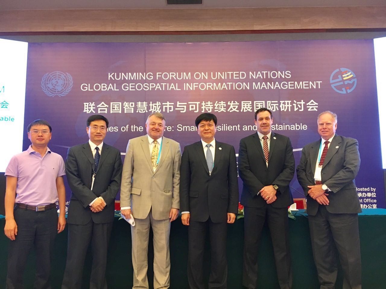
- Kunming Forum on United Nations Global Geospatial Information Management titled „Cities of the Future: Smart, Resilient and Sustainable”. Kunming, Yunnan province, China.
May 10-12,2017
- XIII International Exhibition and Scientific Congress OPEN-SOURCE GEOSPATIAL SOLUTIONS FOR PUBLIC BENEFITS. Novosibirsk, Russia.
April 19–21,2017
- 2017. Novosibirsk, Russia.
Commission Program Stream in Geospatial World Forum 2017 in Hyderabad, India.
January 23-25,2017
- Disaster Risk Management Seminar "Seismic Preparedness Map for Community Resilience"
November 11,2016
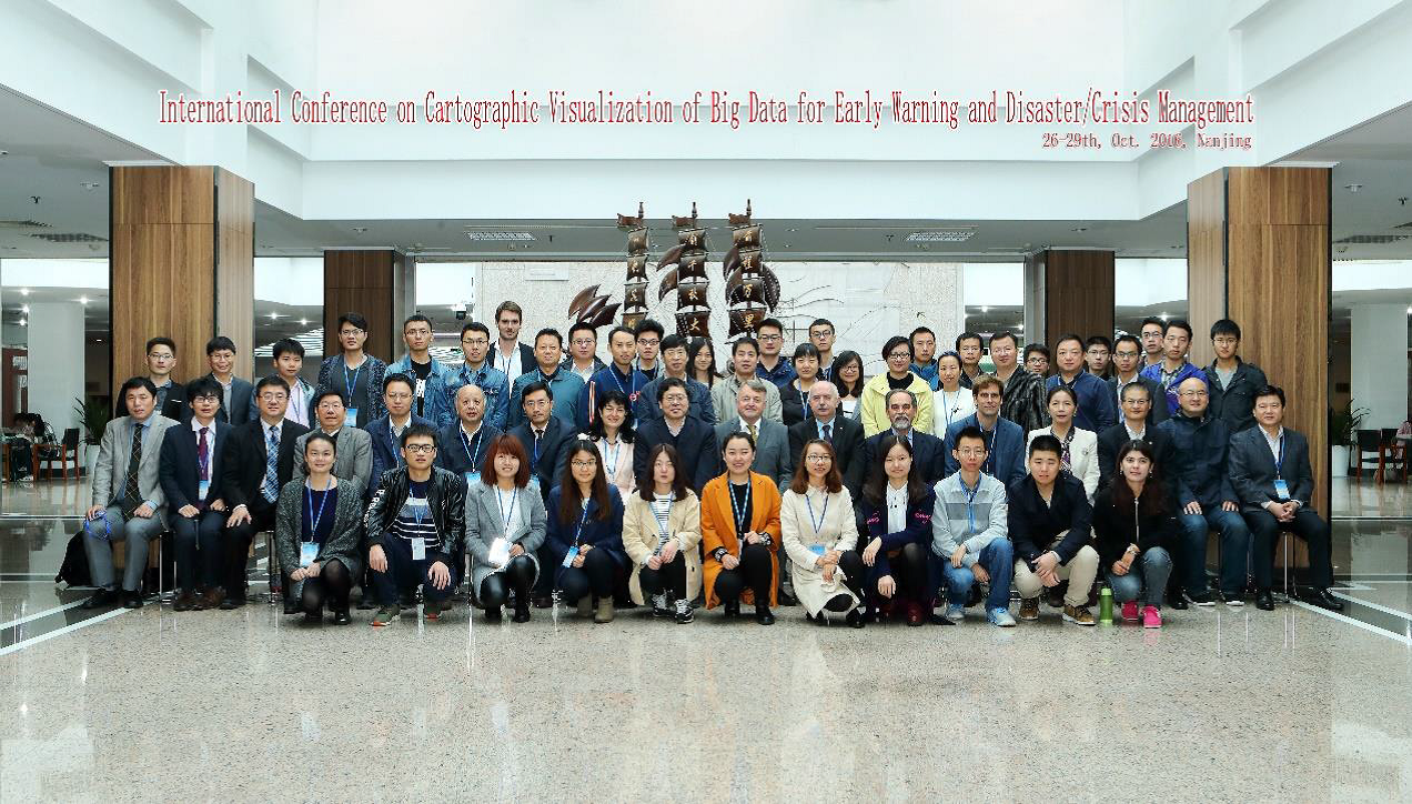
- The International Conference on Cartographic Visualization of Big Data for Early Warning and Disaster/Crisis Management Nanjing Normal University. (EW&CM).
Oct 28, 2016
-
Tentative program for a pre-conference workshop of ICC 2023 in Cape Town , South Africa organized by ICA Commission Cartography for Early Warning and Crises Management (CEW&CM)
August 12, 2023
-
Agenda for a pre-conference workshop of EuroCarto 2022 in Vienna organized by ICA Commission Cartography for Early Warning and Crises Management (CEW&CM)
September 18, 2022
-
ICA Commission Cartography for Early Warning and Crises Management (CEW&CM) will organize a pre-conference workshop of EuroCarto 2022 in Vienna
September 18, 2022
-
The 31st International Cartographic Conference (ICC 2023) will take place in Cape Town, South Africa.
August 13-18, 2023
-
Tentative Workshop Program of Pre-conference activity of ICC 2021 in Florence, Italy ,Organized by ICA Commission Cartography for Early Warning and Crises Management (CEW&CM)
December 13, 2021
-
ICA Commission Cartography for Early Warning and Crises Management (CEW&CM) will be held as a pre-conference activity of ICC 2021 in Florence
December 13, 2021
-
30th International Cartographic Conference (ICC2021), Florence, Italy
December 14-18, 2021
-
8th International Conference on Cartography & GIS + Seminar on Disaster Risk Reduction Solutions and Innovations,Nessebar, Bulgaria
June 14-19, 2021
-
16th International Conference on Location Based Services (LBS2021), London, UK
TBD, 2021
-
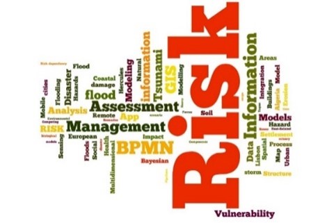
6th Interdisciplinary International Conference on RISK Information Management, Risk Models and Applications Berlin, Germany,
May 26-27, 2020
-
International Conference Silk-road Disaster Risk Reduction and Sustainable Development, Beijing, CHINA
May 11-12, 2019
-
ICA Commission Cartography for Early Warning and Crises Management (CEW&CM) will be held as a pre-conference activity of ICC 2019 in Tokyo and Tsukuba
July 13-14, 2019
-
GI4DM2019, GeoInformation For Disaster Management in National Library of Technology, Prague, Czech Republic
September 3-6, 2019
-
GeoSpatial Conference 2019, Agriculture, Natural Resources and Disaster Management, Campus of Agriculture and Natural Resources, University of Tehran, Karal, Iran
October 12-14, 2019