Joint ICA-GEO Workshop of ICC2017:Disaster Management, Big Data, Services, and Cartographic Representation. Washington, D.C. July-2,2017
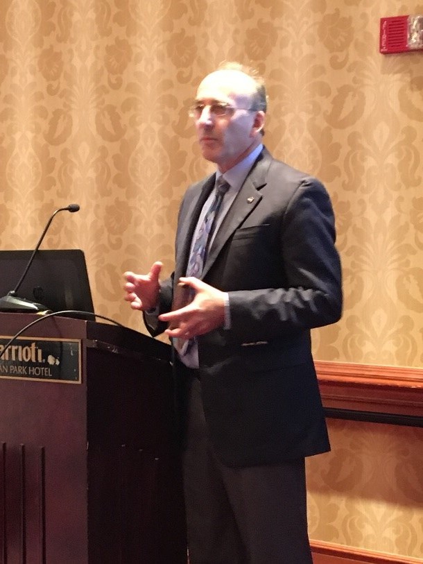
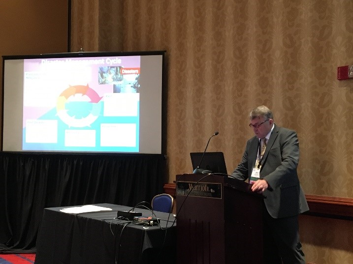
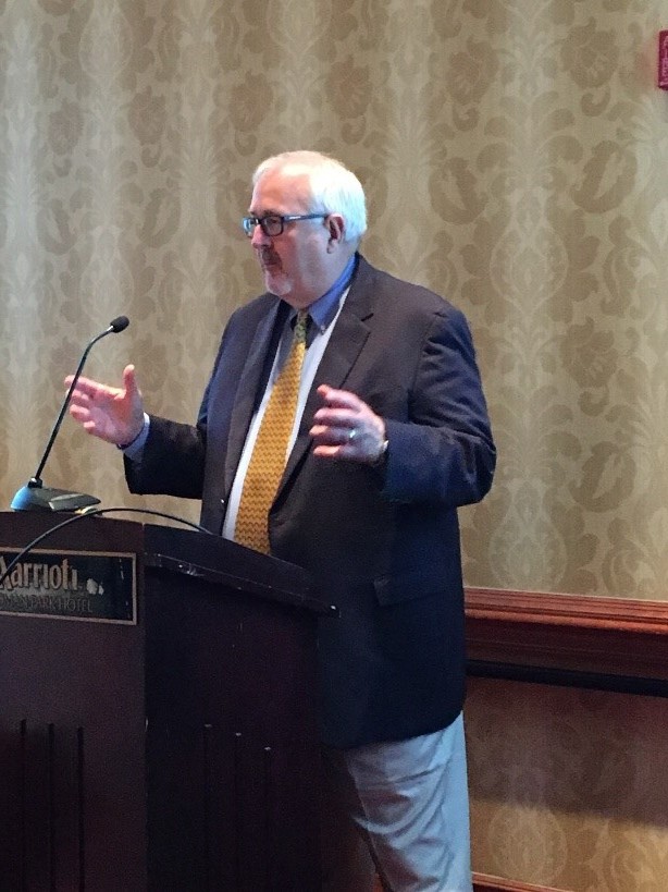
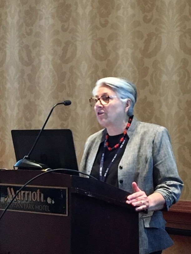
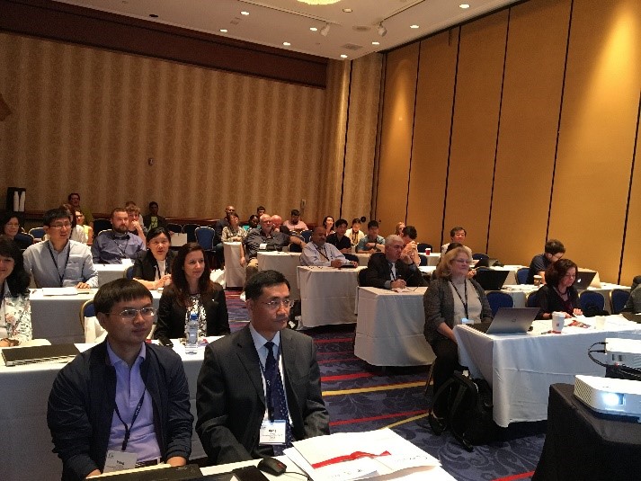
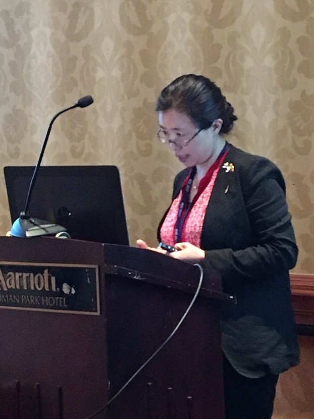
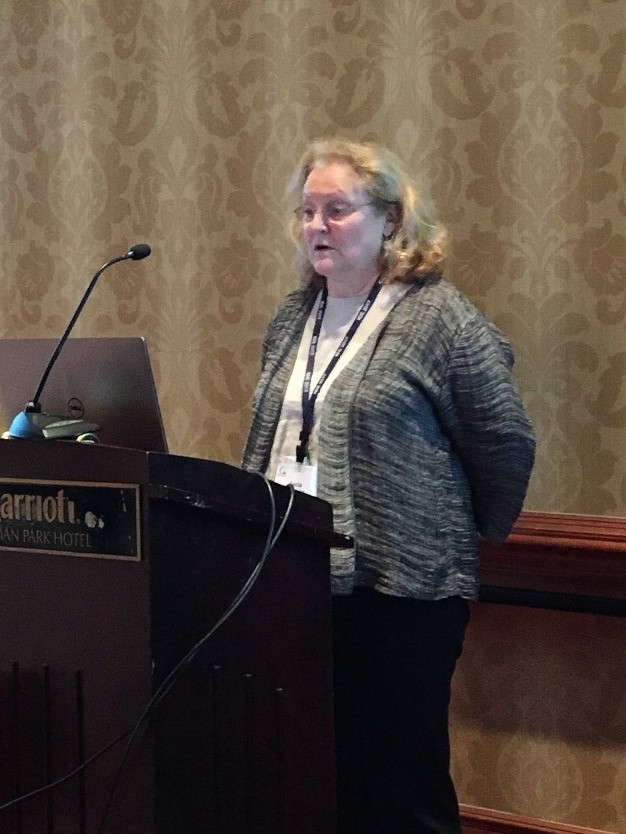
The Joint ICA-GEO Workshop titled“Disaster Management,Big Data,Services and Cartographic Representation”was held successfully in Washington,D.C. at July 2,2017. This conference was organized by the International Cartographic Association (ICA) and the Group on Earth Observation (GEO),and more than 40 peopleattended who are from many international organizations such as the GEO,World Bank,NASA and so on,and countries such as China,the United States, the Czech Republic,Bulgaria,Chile,Japan, South Africa and so on. The conference reports contains many themes, which cover the network construction in disaster reduction,social perception of disaster information,visualization of disaster and risk information, high performance computation of disaster reduction information,smart city disaster reduction application,ect..
| No. | Name | Title/Position | Organization | Report Title | Link |
| 1 | Milan Konecny | Chair of ICA Commission CEW&CM | Masaryk University | Disaster Risk Reduction Agenda in Big Data Era: the Role of Cartography |
 |
| 2 | Graig Fugate | Former Administrator | Ex-FEMA | Think Big, Go Big,GoFast,Be Smart | |
| 3 | BarbaraRyan | Secretariat Director | Group on Earth Observations | International Collaboration and Hyper-partnering for Disaster Risk Reduction |
|
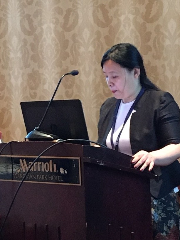
| 4 | Wei Sun | Urban Planning, Land&Resources Commission of Shenzhen Municipality | The Application of Geospatial Platform in Urban Governance -Shenzhen |
|
|
| 5 | David Green | Disaster Program Manager Science Mission Directorate Earth Science Division | NASA | Disaster Risk Reduction, Impact and Recovery Mapping –Perspectives from Space |
|
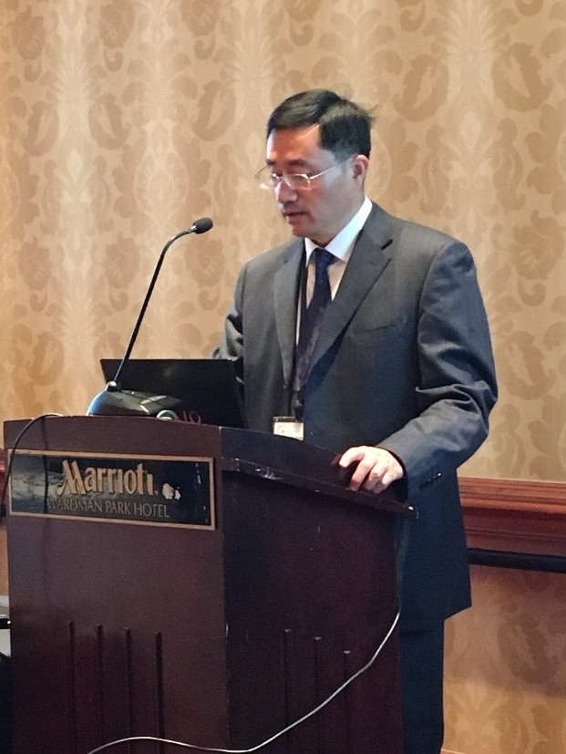
| 6 | Jiping Liu | Vice President | Chinese Academy of Surveying and Mapping | Web Information Acquisition, Data Integrationand Its Application in Crisis Management |
|
| 7 | JieShen | Professor | School of Geography Science, Nanjing Normal University | High Performance Computing of Points Generalization and its Potential Application in Risk and Disaster Management |
|
| 8 | Lucia Lovison-Golob | Coordinator of Geo Chile Disasters Capacity Building Working Group | Geo Chile Disasters Capacity Building Working Group | Big Data From Satellites and Drones to Products |
|
| 9 | UNE Hiroshi | Director General | Geography and Crustal Dynamics Research Center,Geospatial Information Authority of Japan | Role of Geospatial Informationfor Disaster Risk Management- Disaster Responses of Geospatial Information Authority of Japan asExemplified in Recent Large Earthquakes in Japan |
|
| 10 | MarynaStorie | Doctor | Geographic Risk Management | Scalability of Data, particularly Disaster Data,in Developing Countries |
|
| 11 | Suarez Rodrigo | InvestigadorContratado | Universidad Tecnica Federico Santa Maria | Chilean Geo Client Application for Disasters |
|
| 12 | Nagaraja Rao Harshadeep | Global Lead (Watersheds) | World bank Group | A new paradigm to access and interact with disaster-related data services |
|